10. April 2025
Spatial outlook with Miguel Marques, Founder & CEO of Mapidea
We recently published our Crossroads essay “The Future of Spatial”. What we know about spatial and what impact it will have on the German media and communications market in the next 10 years. With our interview series, we would like to give you exciting insights from our expert interviews and continue the series with Miguel Marques, founder and CEO of Mapidea.
Mapidea supports other companies in making data-driven decisions with the help of geography. Miguel Marques founded the company in 2014 with the vision that geography should be an established tool for all employees in all organisations.
The Future is ubiquitous
Location Intelligence in Media and Advertisement
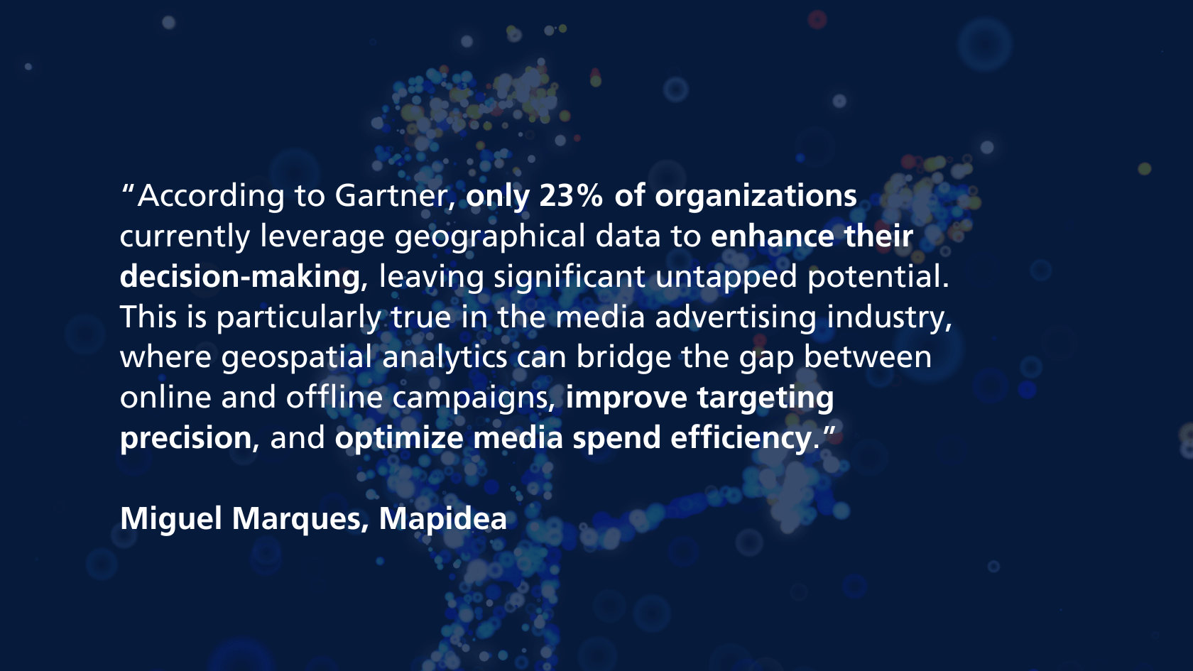
In today's data-driven world, organizations that effectively integrate Location Intelligence into their analytics strategies gain a crucial competitive edge. According to Gartner, only 23% of organizations currently leverage geographical data to enhance their decision-making, leaving significant untapped potential. This is particularly true in the media advertising industry, where geospatial analytics can bridge the gap between online and offline campaigns, improve targeting precision, and optimize media spend efficiency.
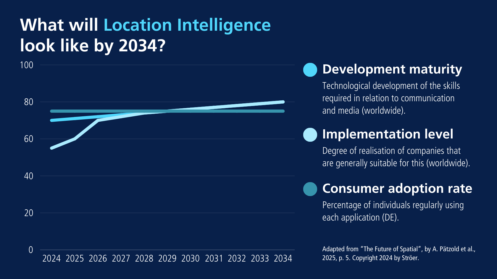
The journey towards a full-scale geospatial maturity in media advertising can be mapped into four progressive stages. Each stage represents an increasing level of integration, accessibility, and a consequent strategic impact of Location Intelligence. Some organizations are ahead of the curve, some are taking their first steps.

Stage 1: an Island of Geography
Isolated Expertise
Few expert users within the media company work with Location Intelligence. Sometimes only one person has access to a desktop software to conduct location-based studies and deliver static reports to decision makers. The typical support is a PowerPoint presentation with maps. The analyses typically focus on past campaign performance, assessing the impact of OOH and digital ads in specific locations.
Example
A media agency conducts a one-time study to evaluate foot traffic increase near billboards placed in key urban locations after a brand’s campaign launch. While insightful, these studies remain confined to a specific timeframe and lack the capability for ongoing optimization.
Stage 2: from an Island to a Peninsula
Expanding to One Business Area
When organizations recognize the value of geospatial insights, they extend access to one key business area – typically Marketing or Media Planning. This allows business users to conduct one-time analyses themselves without solely relying on GIS (Geographic Information Systems) experts. This stage introduces a certain level of analytical autonomy, but Location Intelligence is still not embedded into continuous decision-making processes.
Example
A digital marketing team uses a geospatial tool to assess which urban areas generate the most online engagement after an OOH campaign, helping refine future placements.
Stage 3: reaching the Mainland
Continuous Insights and External Data Integration
At this stage, media companies begin incorporating external datasets – such as Census data, mobility patterns, competitor locations, and real-time population movement – into their geospatial analytics. Additionally, Location Intelligence tools are connected to continuously updated data sources, enabling dynamic, recurring insights rather than one-time studies.
Example
An agency integrates telco mobility data with ad impressions to understand not just how many people saw a campaign, but how they moved afterward – supporting with factual data future media buying strategies.
Despite this advancement, the use of Location Intelligence remains restricted to one Department, preventing organization-wide collaboration.

Stage 4: the World
Full Democratization Across the Organization and Clients
The final maturity stage involves making Location Intelligence accessible across all business areas, fostering collaboration within media companies and with their clients. Geography becomes an integral dimension in campaign planning, impact analysis, and strategic decision-making.
Beyond just internal expansion, this stage also involves integrating client data into geospatial analysis. Media companies can layer clients’ sales distribution, online order density, and customer behavior trends over their own geospatial insights, creating a powerful decision-making framework.
Example
A media company and a retail brand collaborate in a geospatial platform to align OOH advertising placement with in-store sales data, optimizing ad content and locations in real time.
By providing clients with access to geospatial tools, media companies empower them to collaboratively analyze the impact of media investments and refine strategies together. A map is worth a thousand spreadsheets.
The Role of Location Intelligence tools on this journey
To reach the level of democratization of Location Intelligence outlined in stage four, organizations need tools that are specifically designed for non-GIS experts. Platforms like Mapidea provide intuitive interfaces, seamless data integration, and collaborative capabilities that enable both media companies and their clients to extract real-time insights from complex geospatial data.
In an industry where the right message at the right place and time defines success, Location Intelligence is no longer a luxury or a geographer’s dream – it’s a necessity. As the future unfolds, those who embrace Geography as a fundamental pillar of their decision-making will gain an undeniable competitive edge in media advertising.
Why? Because everything that matters for a Media business happens somewhere!
Many thanks for the interview to our expert Miguel Marques from Mapidea. Want to know more? Exchange ideas with us? Feel free to write to us at: Strategie(at)stroeer.de
Media content in this blog post was created with the help of AI.


